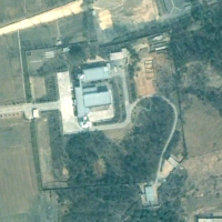
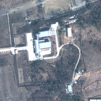
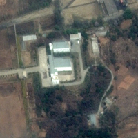
After North Korea invited international media to its satellite control center it was only a matter of time before it was located on satellite images. The building, distinctive for two round domes (possible radar domes) on the rooftop at each end (see below), made it fairly easy to spot. And that’s what’s happened.
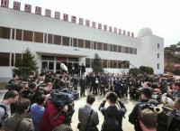
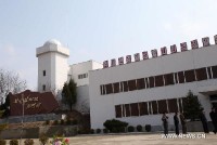
It was first spotted by a reader to Curtis Melvin’s North Korea Economy Watch site.
The launch might have ended in failure, but now we know where it’s all controlled from and can chart its progress.
Here’s a look at the launch complex. I’ve numbered the buildings to help track their development.
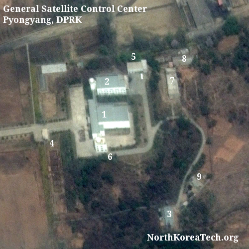
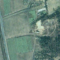
The first thing that can be determined is that the control center was built sometime between November 2000 and April 2005. This can be determined by checking historical Google Earth satellite images:
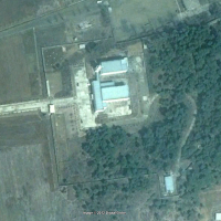
The year 2005 brought additional construction with the addition of a second tower to the south of the main building. Labeled building 6 above, this was visible in a satellite image from August that year. What appears to be the base of building 5 was also in place.
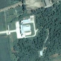
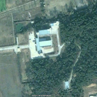
The two buildings appear complete by 2010. Throughout the period some smaller structures have also appeared on site, such as building 9, which appeared between 2006 and 2009.
First off, what were your impressions of the Control Center? Was it as you expected it to be?
It looked like a real control center – from the outside as well as the inside. First the communications links – two communications domes and a pretty hefty antenna farm on top of the hill – looked real, and inside the displays appeared logical and made sense to me. – MSNBC, April 11, 2012.
I can’t locate the antenna farm on the satellite pictures. It could be that they are too small to be seen from space, although his description hints at additional construction since the most recent image was taken in May 2011.
View Larger Map

